Tuscania
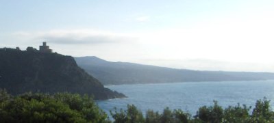
 The deal between me and me was that when I managed to wriggle myself out of the iron grip a fixed position is, I would spend much more time outdoors. That this implies on the BMW goes without saying. But, how have a fared? Not very well, I must say. Yesterday would have been the perfect day for a ride, but I had promised this and promised that. No go.
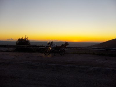
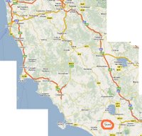
But today is the day; as the topmost picture shows, the weather was excellent also today; it is taken midway between Pisa and Grosseto. But where to ride? The thing is, I have obligations: As part of an experiment, I have promised to drink coffee on the anicent (for an Italian definition of the word!) town of Tuscania. The question is: When having coffee in a 3.000 years old city square, how strong is the feeling of the urbane versus the rural? I ride down to Tuscania to find out.
A small side note: Tuscania is not in Toscana (which unfortunately is spelled Tuscany in English); the former is derived from Cane (see Wikipedia for details) while the latter from Tusci (Etrucan).
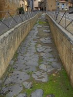 Upon arrival I realise there are problems: Looking at the Roman road (if you have Google Earth installed, you can watch the road In Situ by clicking here.) leading up to the city walls surrounding Tuscania, and reading the signs, I realize that where Tuscania is today (just in front of me) is not where it was three thousand years ago. Then it was situated on a hill a few hundres meters away. Actually, the town used to occupy both hills, but the plauge in 1348 struck the town so hard that one hill, and the vally between them, was completely abandoned.
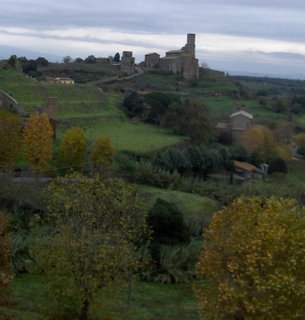 The picture on the left is taken from the current and shows Basilica San Pietro on the other hill. The building on the right is the church Santa Maria Maggiore, founded in the 7th centry. It used, a milennum ago, to be "downtown". Now it is situated in a forest at the bottom of the valley; there is a nice view from there up on the two hills.
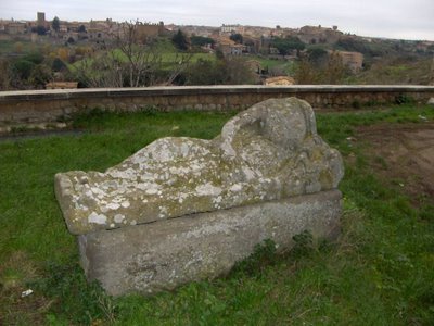
Enough history; duty is calling so let's have coffee. I head over to the hill with the old town, but there is nothing there but Roman ruins, the Basilica, and quite a few Etrucan sarcophagues. This one is 2.700 years ord; in the background you see the present Tuscania.
 During high season it is actually possible to have coffee here, but the bar is closed now (No turists, no struggle, no pressure, no heat, no lines to stand in, but, alas, no coffee). So I head back to the first hill and locate the Duomo. There is a bar, I have my coffee, I sit, but even though I have come 300 km for this coffee, it doesn't feel right. There is something making me uncomfortable. I get up, and I leave.
I follow SS2 (the Imperial Roman road via Cassia that went from Roma, via Arezzo, to Firenze). I ride through Canino, Acquapendente, Montalcino, Siena, the outskirts of Firenze, and Fi-Pi-Li home. Between Lago de Bolsena and Siena the via Francigena follows tha same route:
The Via Francigena is a historical route, a major road once walked along by thousands of pilgrims on their way to Rome. History has that Sigeric, the Archbishop of Canterbury, on the way back from Rome, where he had been to visit Pope John XV in the year 900, wrote a detailed description of the itinerary, which was known as ?Via Francigena? and was to become one of the most important medieval pilgrim routes.The site has detailed maps of the entire distance in case you want to take a stroll!
I don't get home until 19:30, well after sunset. I didn't find the tranquility I was searching for, I didn't have a GPS to mark my trail. Basically, I have to do it all again later.
645 km.
